
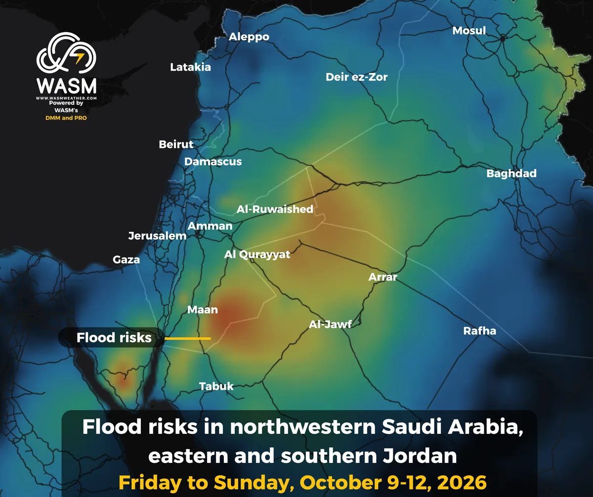
WASM – Northwestern Saudi Arabia, eastern and southern Jordan, and eastern Syria will be affected by sharp weather instability in the coming days, leading to heavy thunderstorm showers and a high risk of flash floods.
In detail, temperatures will rise noticeably toward the end of the week as the active Red Sea Trough deepens over the Levant and northwestern Saudi Arabia, accompanied by a warm, moist, and unstable air mass interacting with colder air in the mid and upper levels of the atmosphere.
This will result in intense weather fluctuations, including thunderstorms, heavy rain showers, and dust‑raising winds across Al‑Jawf, parts of Tabuk, Arar, Qurayyat, and northern Hail in northwestern and northern Saudi Arabia. The unstable conditions will extend toward eastern and southern Jordan toward the end of the week and into Saturday.
The weather event intensifies and reaches its peak on Sunday, spreading into various regions of Jordan and Syria, producing heavy thunderstorm showers in eastern and southern Jordan with significant flash‑flood risks in those areas.
The weather system continues into next week with varying intensity, before an early cold air mass pushes toward the eastern Mediterranean later on. This will lead to a sharp drop in temperatures, widespread rainfall, and an expansion of weather instability into various parts of Saudi Arabia, the Levant, Iraq, and Egypt. Further details will be issued progressively.
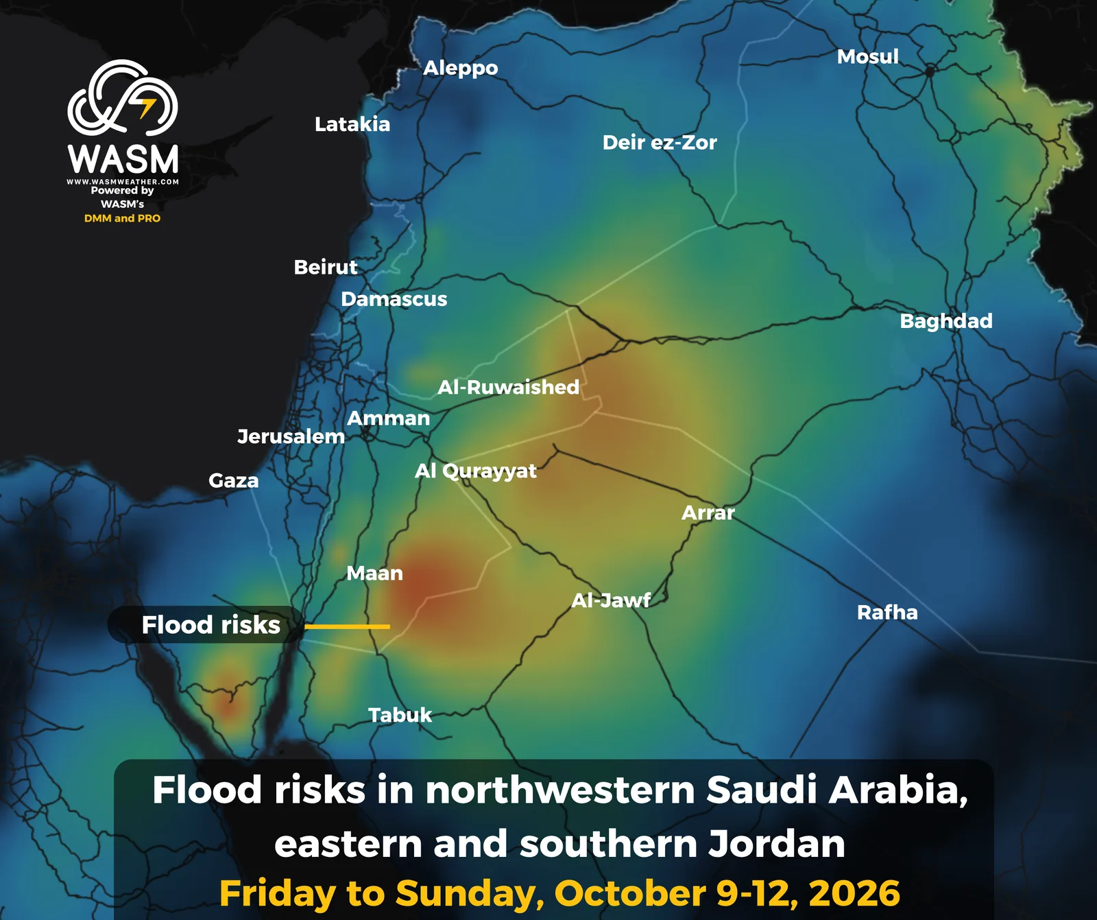
The W.DMM model, which relies on dozens of global numerical outputs after several complex layers of calibration and algorithms, provides this map dedicated to rainfall and precipitation amounts. The red shading indicates areas with flash‑flood risk (from Friday through Sunday).
Mobile App
For more information and smart alerts, download our mobile app on Apple Store and Google Play.
iOS: https://apps.apple.com/us/app/wasm-weather/id6810005560
Google Play: https://play.google.com/store/apps/details?id=com.wasmweather.app