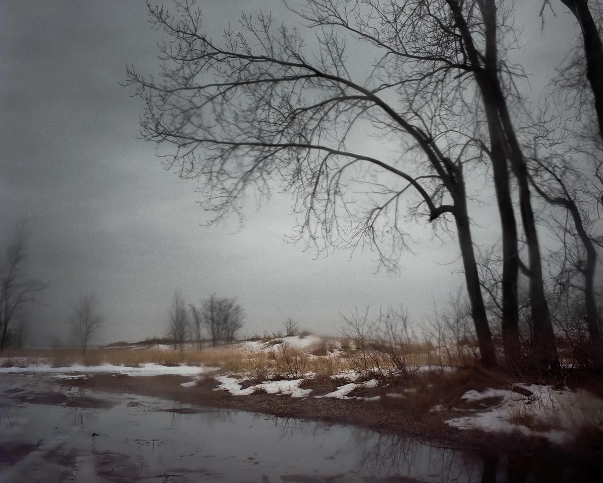
WASM- Jordan and the eastern Mediterranean region are affected by a long-duration "polar" wave that begins on Wednesday and continues for an extended period, intensifying and reaching its peak during mid-February, coinciding with large amounts of heavy precipitation and very low temperatures below freezing in many periods with the occurrence of freezing and frost and active winds.
The polar wave begins late Tuesday/Wednesday night and Wednesday in the form of very heavy rainfall and stormy winds, with snow expected on high mountain peaks on Thursday and Friday.
The intensity of precipitation of all types will decline at the beginning of next week while the polar wave continues to affect the region with very low temperatures, then the impact of this polar wave will renew and intensify during the middle and end of next week accompanied by more heavy precipitation and very low temperatures.
Heavy rain and stormy weather on Wednesday and Thursday|
Heavy to sometimes very heavy rainfall will occur in various regions of the Kingdom, especially western regions, on Wednesday and Thursday amid very cold and stormy weather, with heavy to sometimes very heavy rainfall coinciding with snow falling on high mountain peaks, especially peaks in the north and south of the Kingdom, which may accumulate on some of these peaks, and the weather condition on Wednesday and Thursday is classified as a winter storm.
Decline in precipitation from Friday through Sunday and intensification of cold weather|
Heavy precipitation will decline to become showers or intermittent precipitation mixed with snow on high mountain peaks from Friday through Sunday and possibly pure snow showers in some periods on high mountain peaks, but amid low temperatures and sometimes below freezing, with the expectation of freezing and frost occurring in many regions.
The polar wave intensifies mid and end of next week|
The surge of very cold polar winds toward the eastern Mediterranean basin will renew mid and end of next week directly from northern Siberia, leading to renewed heavy precipitation and temperature drop, and this polar wave is expected to reach its peak impact during the end of next week, which will lead to increased chances of snow falling in mountainous regions.
No signs of the polar wave retreating during medium-term periods|
Due to the unusual nature of the atmosphere and its unusual circulation, the flow of polar winds is expected to continue for a long period and perhaps in a rare occurrence toward the eastern Mediterranean basin and northern Arabia during the coming weeks with no clear indicators of this polar wave retreating, which will greatly increase demand for fuel for heating purposes.
And as a result of these polar winds and their long duration of effect, this will greatly affect the agricultural sector and delay agricultural crops from their usual dates, as well as lead to large amounts of rainfall or heavy snow accumulation on high mountains, which exposes many regions to wadi flooding and dam overflow and major impact on infrastructure.
This organization of the atmosphere resulted from strong and sharp activity of the Siberian high, which is the first activity this season but came at a very late time, causing a continuous flow of very cold polar winds toward eastern Europe and Russia and southeastern Europe and even the eastern Mediterranean, and as a result of its coincidence with unusual activity of Atlantic storms, this will expose most regions of Europe and many regions of North Africa to warmer periods and less rainfall and confine polar winds only toward the eastern Mediterranean basin within rare and unusual atmospheric organization.
This organization of the atmosphere will continue until mid-spring at the earliest, which increases the chance that this season will end with large rates of rainfall and precipitation despite weak seasonal performance until 31-1-2025 by around 15% below the normal rate in many regions, where many regions did not exceed more than 35% of the rainy season which is supposed to achieve 50%.
Intensification of the climate phenomenon "seasonal shifting"|
This phenomenon is called "seasonal shifting" or Seasonal Shifting and it is due to climate changes affecting the region, which have caused the intensification of this phenomenon in recent years, where it was found that the total of more than 75% of rainfall in recent years has been delayed to the second half of the rainy season compared with 46% before climate change.
This phenomenon has also led to increased rainfall rates and increased intensity of winter or snow storms, and increased chance of very large amounts of rain falling in shorter time periods, and this phenomenon was very evident in the 2022-2023 season, where more than 90% of the rainy season fell in some regions during the second half of that season and rainfall continued until mid-June and recorded a seasonal increase of around 40-70% in most regions.
Jordan has not suffered any shortage in rainfall amounts in recent years, but rather changes in the nature of rainy seasons and their intensification and increased rainfall rates by more than 60%.
Weather Alert | Extended Polar Wave Beginning Wednesday Affecting Jordan and the Eastern Mediterranean Region