
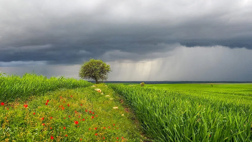
WASM - The Kingdom will be affected by a new cold air front starting from Thursday evening until Friday afternoon, leading to heavy thunderstorm rainfall occurring occasionally across various regions of the Kingdom, coinciding with active winds and cold weather.
Thursday daytime weather will be generally cold in the mountains and partially cloudy, with wind speeds increasing gradually from afternoon hours before the passage of the cold air front.
Thunderstorm rainfall will occur across various regions, particularly in the central region, the Dead Sea, the southern region, as well as the northeastern desert areas. These showers will be heavy at times, with concern for the formation of floods and flash floods in some areas.
Rain will continue on Friday as scattered showers in the western regions of the Kingdom, amid cold atmospheric conditions.
Weather will stabilize temporarily on Saturday with a slight increase in temperatures and a shift in wind direction, then heavy thunderstorms will resume across various regions on Sunday and Monday.
WASM Regional Center is monitoring a warm spring wave, the first after the winter season, lasting 4-5 days with temperatures rising to twenty-degree levels in mountainous regions, followed by the return of "strong" atmospheric disturbances and heavy thunderstorm rainfall across various regions.
WASM issues an orange alert level for weather conditions starting Thursday evening due to high rainfall intensity rates in some areas for short periods, which may cause the formation of floods and flash floods coinciding with active winds.